
Share your point cloudswith your clients
The global platform and infrastructure for your 3D scans. Your clients view them without installing anything. Works with all scanners.
No credit card required
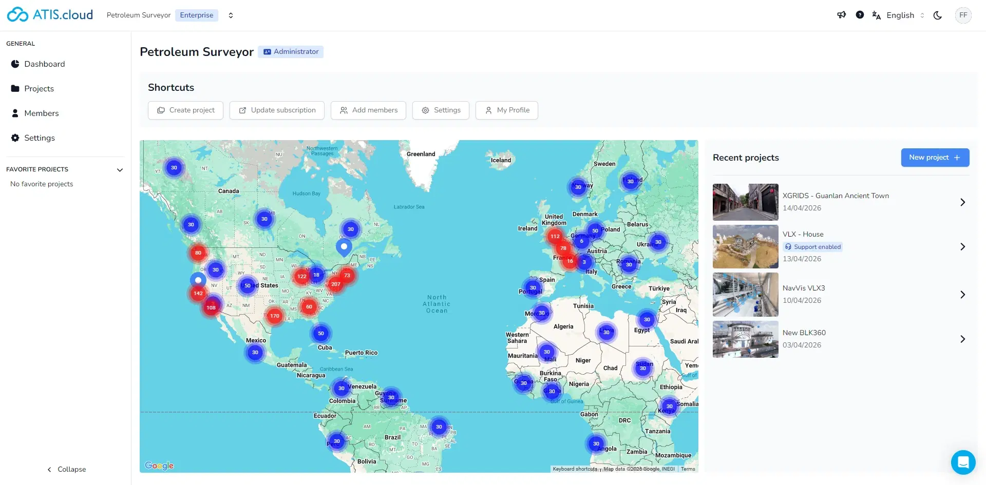
Compatible with leading scanners on the market


Why choose ATIS.cloud?
Works with all scanners
FARO, Leica, Trimble, Topcon, Riegl, NavVis, Matterport...
Accessible and transparent
Affordable compared to desktop software. Free trial, no commitment.
Simple and accessible
Share easily with your clients, no client-side download, no installation.
Everything you need
Powerful tools to visualize, measure, annotate and share your point clouds.
High-performance visualization
View your point clouds up to 1 TB directly in your browser, with no installation required.
Up to 1 TB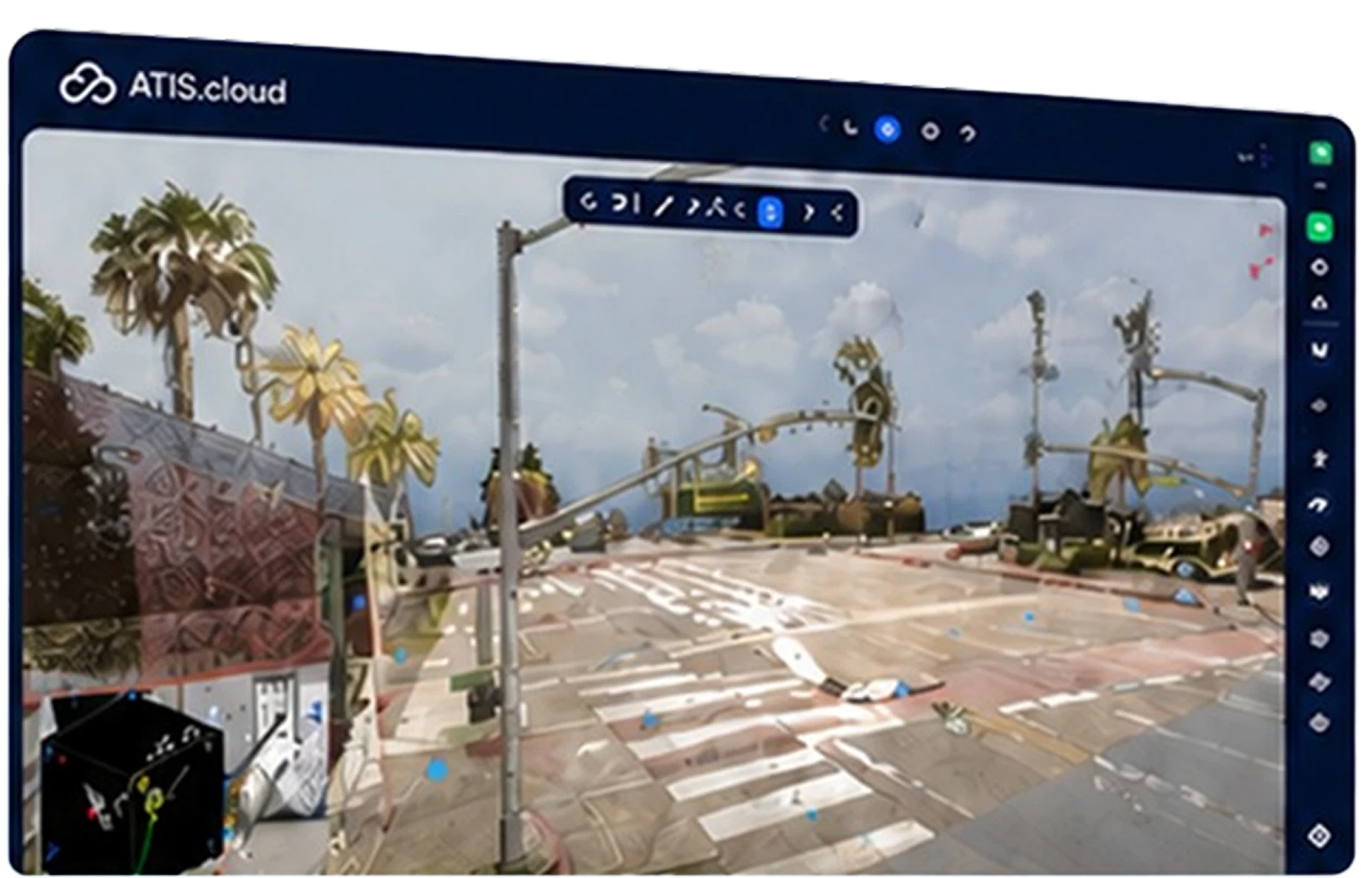
Share with your clients
Share your point clouds with your clients. They view the scan without downloading anything.
Simple and accessible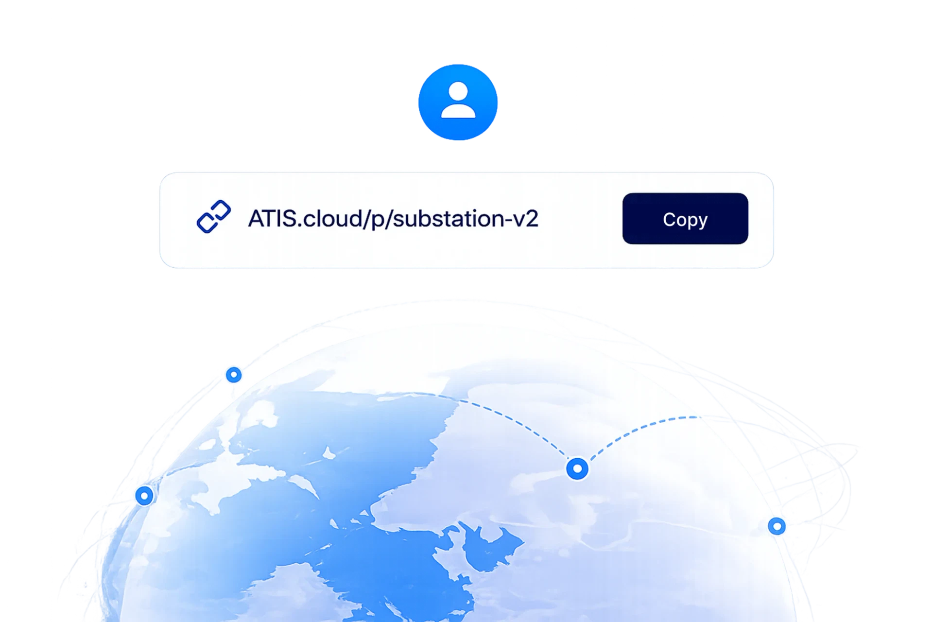
Measurement & Annotation
Take precise measurements and annotate your scans to collaborate efficiently with your teams.
Millimeter precision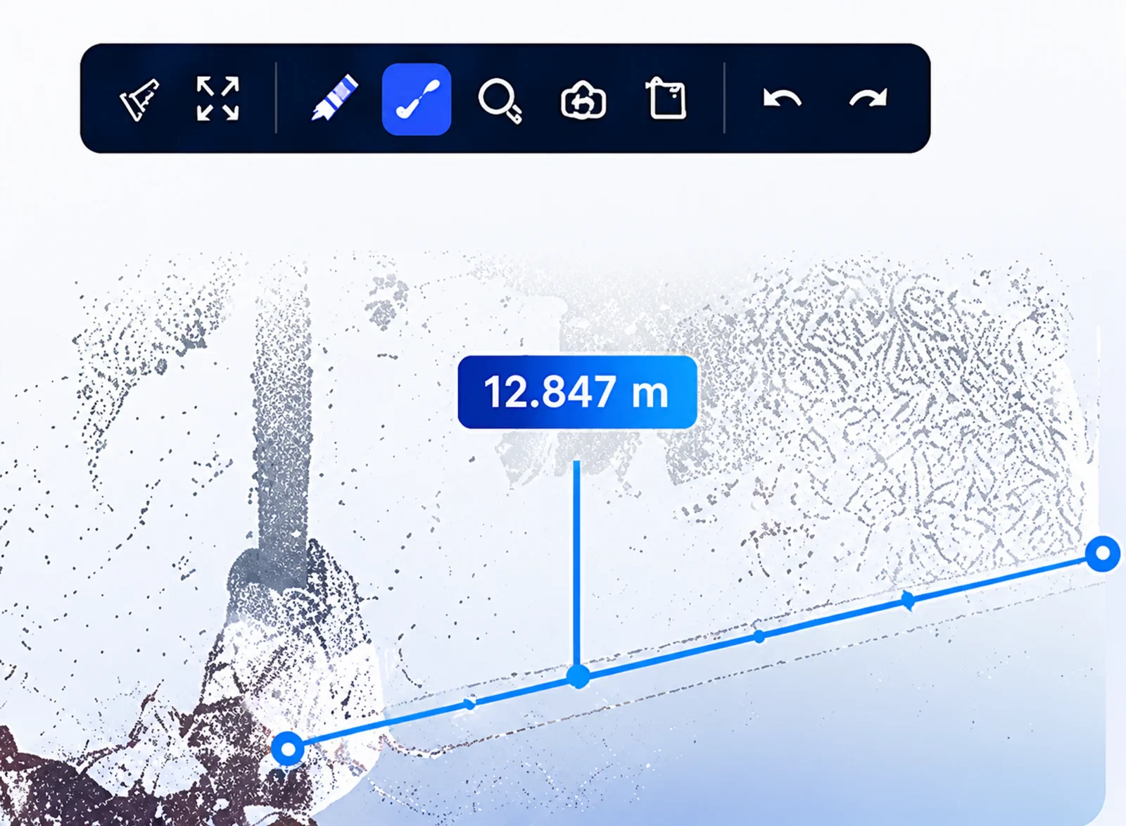
BIM Comparison
Overlay your point clouds with your BIM models to detect deviations and validate your projects.
Deviation detection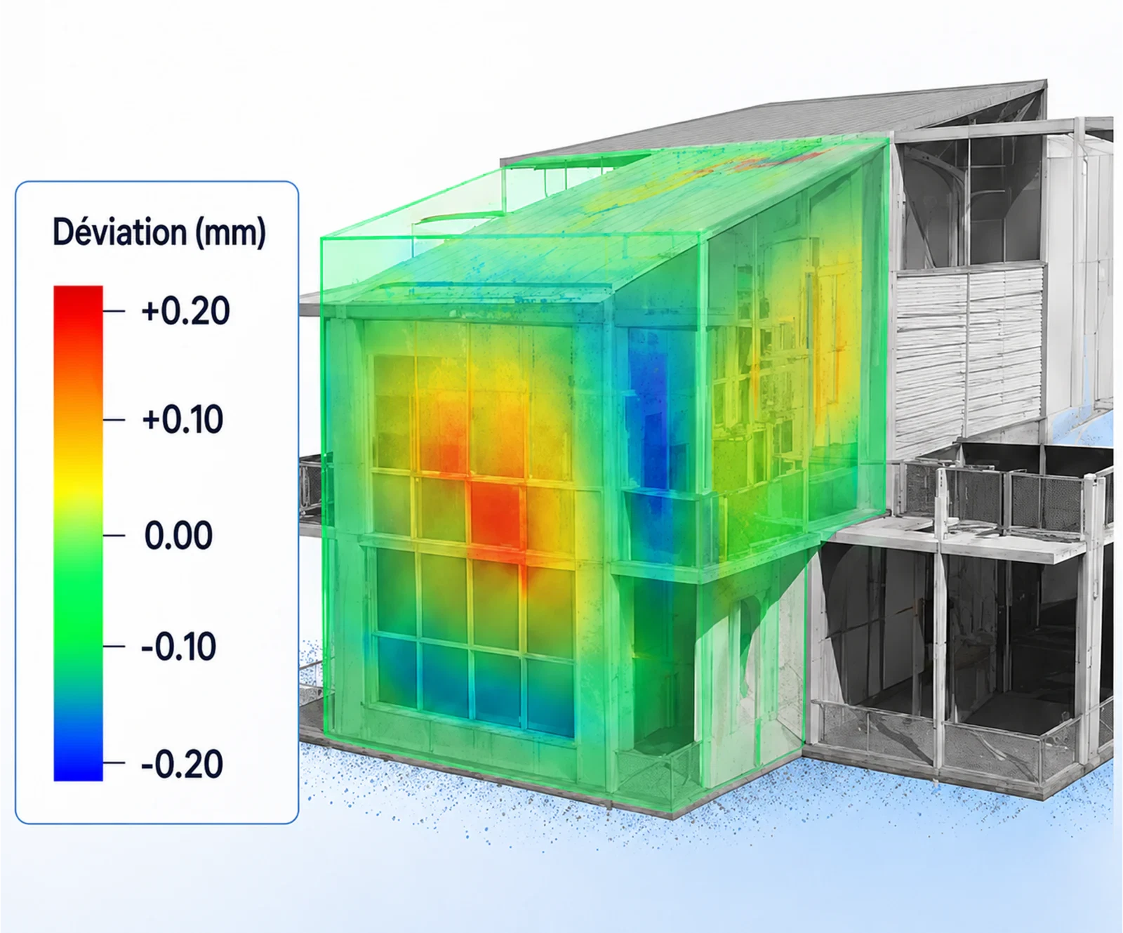
360° Images
Integrate your 360° panoramic photos to offer an immersive experience to your clients.
Virtual tour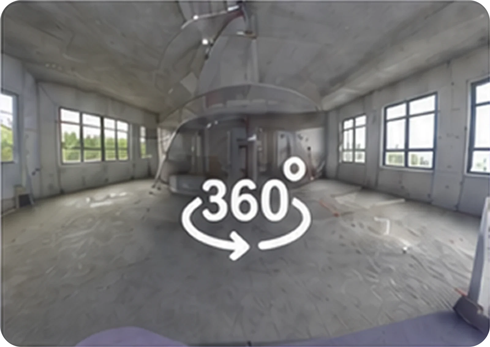
GDPR / CCPA Security
Your data benefits from data sovereignty in 22+ countries with SSL encryption. GDPR / CCPA compliance guaranteed.

ATIS.cad
From the survey to drawings or a model
ATIS.cad is ATIS.cloud’s CAD/BIM authoring product. Work from the point cloud, review suggestions and prepare the deliverable you need in your browser.
Scan-to-Plan
Prepare an editable 2D floor plan. Review proposed walls and complete the drawing before export.
PDF · DWG · DXF drawings
Scan-to-BIM
Prepare building objects. Accept, adjust or reject suggestions, then check the model.
IFC model after review
Early access until the end of November 2026, on request and activated by the team. Separate from the ATIS.cloud trial; a later commercial release is not guaranteed.
For every industry
Discover how ATIS.cloud adapts to your sector.
Surveyors
Deliver your scans to your clients in seconds. They view without installing anything.
BIM & Construction
Compare your point clouds with your BIM models. Detect deviations instantly.
Heritage
Document and share your historic monument surveys with your teams and partners.
Manufacturing
Digitize your industrial facilities and facilitate maintenance and renovations.
Simple and transparent pricing
Choose the plan that fits your needs. Free trial, no commitment.
Standard
Perfect for small teams and freelancers.
No credit card · No commitment
- Unlimited visualization
- Measurement & annotation
- Secure sharing
- Email support
- 19+ supported formats
Advance
Most popularFor teams that need more power.
No credit card · No commitment
- Everything in Standard +
- BIM/model comparison
- 360° images
- Priority support
- Advanced annotation
- Additional storage available
Enterprise
Custom solution for large organizations.
Response within 24h
- Everything in Advance +
- Branding interface
- SSO / SAML
- Dedicated account manager
- Guaranteed SLA
- Custom integrations
Security and compliance
What our customers say
Discover why over 2,600+ companies trust us.
"ATIS.cloud allowed us to reduce delivery time by 2 hours per project. Our clients can view scans immediately."2h saved per deliverable
James
Licensed Surveyor, Horizon Surveying
"The interface is intuitive and comparing with our BIM models has become child's play. A real productivity gain."+40% productivity
Sarah
BIM Manager, Arcadia Construction Group
"We were able to abandon our expensive on-premise solution. ATIS.cloud is much more accessible and simpler."Affordable pricing
Michael
Technical Director, Meridian Industries
"Sharing has revolutionized how we work with our clients. No need to explain how to install an application anymore."0 client friction
Emma
Heritage Manager, Atlas Heritage Foundation
Latest articles
Guides and news on 3D point clouds.
Scan-to-BIM services or in-house software?
An external provider, desktop software or ATIS.cad in your browser: compare three ways to turn survey data into a usable BIM model.
How to share a point cloud with clients
Upload your E57, share a secure link and let your client open the survey in their browser. Here is how to make that simple handover ready for real project work.
Point Cloud Definition: What It Is (3D, Simply)
A precise 3D point cloud definition: coordinates, attributes, point records, differences from meshes and BIM, cloud types, density and accuracy.
Frequently asked questions
Got questions? We have answers.
Can't find the answer? Contact us
Ready to simplify sharing your 3D scans?
Join over 2,600+ companies that trust ATIS.cloud to showcase their point clouds.
Try for freeNo credit card required • Cancel anytime